From autonomous delivery drones to advanced defense UAV platforms, our portfolio companies are shaping the future of air mobility. Our investments have supported innovations
Whether you’re an investor seeking opportunities or a startup looking for funding, we’re ready to help you build the future of aerial technology.
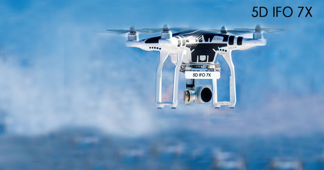
Work Completed in 2024-2025
AI-powered navigation systems
High-capacity battery and propulsion technologies
Precision agriculture analytics & BioProtection
High-resolution imaging and sensor hardware
Cloud-based UAV fleet management
Priority for 2026-2030
-
Save the Honey Bee Mobile Laboratory with Q.5D Lab
-
Drones for Solar Smart City Generation 5+
-
Participation in Biodiversity program New Heliopolis Sofia
-
Drones & AI for Pegasus Golf academy
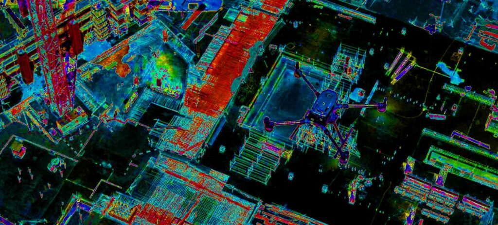
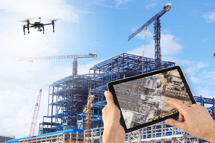
4D MANAGMENT & CONSTRUCTION MONITORING
Smart Cities Generation 5+
& Infrastructure
Sustainable Urban Planning
- Provides accurate 3D mapping for planning green spaces
- Assists in renewable energy site assessment (solar/wind)
Infrastructure Inspection
- Inspects bridges, power lines, pipelines, and solar farms
- Reduces need for fossil-fuel-heavy equipment
- Improves maintenance efficiency and safety
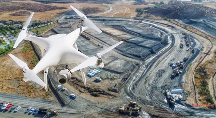
4D Construction Monitoring
Traffic & Pollution Monitoring
- delivery of construction material
- Measures air quality for environmental compliance
- management of stages of construction
- report on completion
- report to customer on construction progress
- report to banks and insurance
- monitoring process incorporated in property development Algorithms
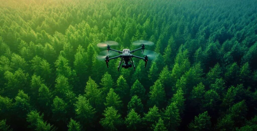
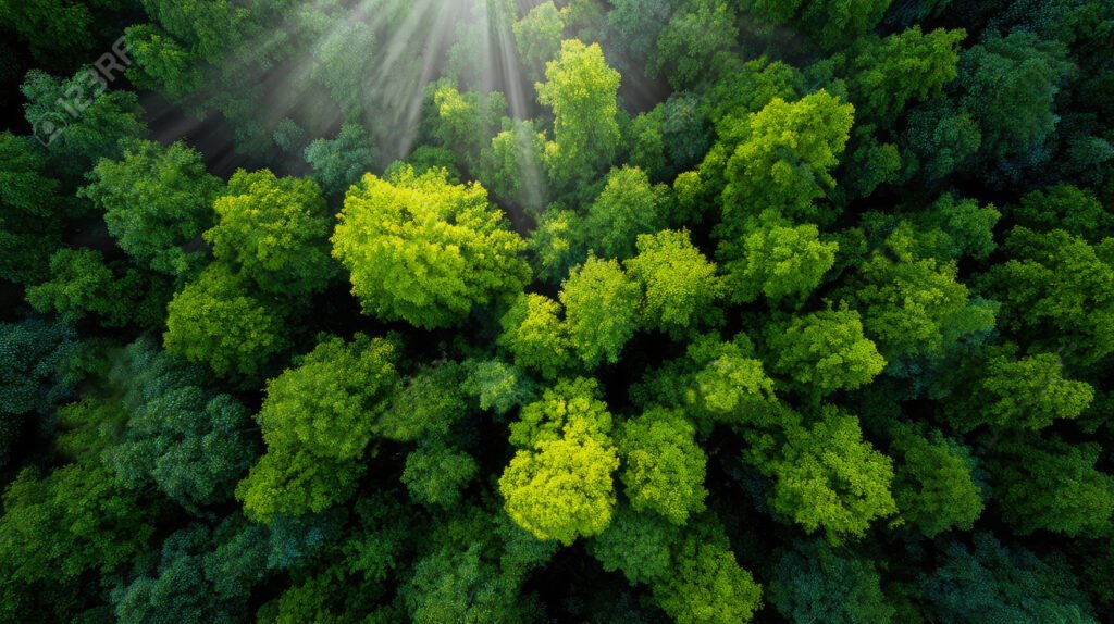
REFORESTATION & SUSTAINABLE DEVELOPMENT & FOREST MONITORING
Forest Monitoring & Reforestation Tracks deforestation, illegal logging, and forest health. Supports rapid reforestation with seed-dropping drones. Monitors biodiversity and wildlife habitats
SEEDING MODULES
Seeding modules 3D printing in own laboratory for re-forestation program. Seeding modules also contribute in save the honey bee program in seeding and distribution of seeds for honey bees food plants.
Drones in Sustainable Development
Drones—also known as unmanned aerial vehicles (UAVs)—are becoming powerful tools for sustainable development. Their ability to collect data, deliver goods, and operate in remote regions makes them especially valuable for governments, NGOs, research institutions, and businesses seeking efficient, low-impact solutions.
Climate & Ecosystem Monitoring
Gathers data on glaciers, coastlines, wetlands, and endangered species
Allows real-time climate impact assessment
Provides low-cost environmental surveying
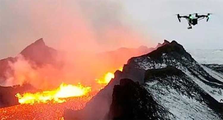
Disaster Risk Reduction & Response
Early Warning Systems
Monitors floods, landslides, volcanic activity, and wildfires
Offers high-resolution imagery for risk mapping
Rapid Emergency Response
Provides real-time situational awareness
Locates survivors more quickly
Supports coordination of rescue operations
Post-Disaster Damage Assessment
Speeds up insurance, rebuilding, and humanitarian planning
Reduces human risk in unstable or inaccessible areas
Speeds up insurance, rebuilding, and humanitarian planning
Reduces human risk in unstable or inaccessible areas
Sustainable Health & Social Development
Medical Supply Delivery
Delivers vaccines, blood, and medications to remote communities
Reduces transport emissions vs. land vehicles
Strengthens healthcare systems in rural or island regions
Public Health Monitoring
Supports mosquito control and disease surveillance
Monitors pollution, water quality, and sanitation hazards
Economic Sustainability
Efficient Supply Chain & Logistics
Reduces fuel consumption for last-mile delivery
Supports circular economy practices through optimized routing
Job Creation & Local Innovation
Expands opportunities in drone operations, manufacturing, and data analytics
Encourages STEM education and technology adoption in emerging markets
Ideal for:
detecting irrigation issues
identifying damaged infrastructure
monitoring wildlife populations
Thermal and Multispectral Analysis
AI can interpret complex imaging data to understand heat signatures, crop health, or structural anomalies.
Precision Data Collection & Insights
AI improves the quality and usefulness of drone-generated data.
Applications include:
- 3D mapping and terrain modeling
- crop stress detection
- forest health analysis
- pollution and gas leak detection
- energy infrastructure inspection
Instead of overwhelming humans with raw data, AI turns images into actionable insights.
TRAINING
From autonomous delivery drones to advanced defense UAV platforms, our portfolio companies are shaping the future of air mobility.
Join the Future of Innovation
Whether you’re an investor seeking opportunities or a startup looking for funding, we’re ready to help you build the future of aerial technology.
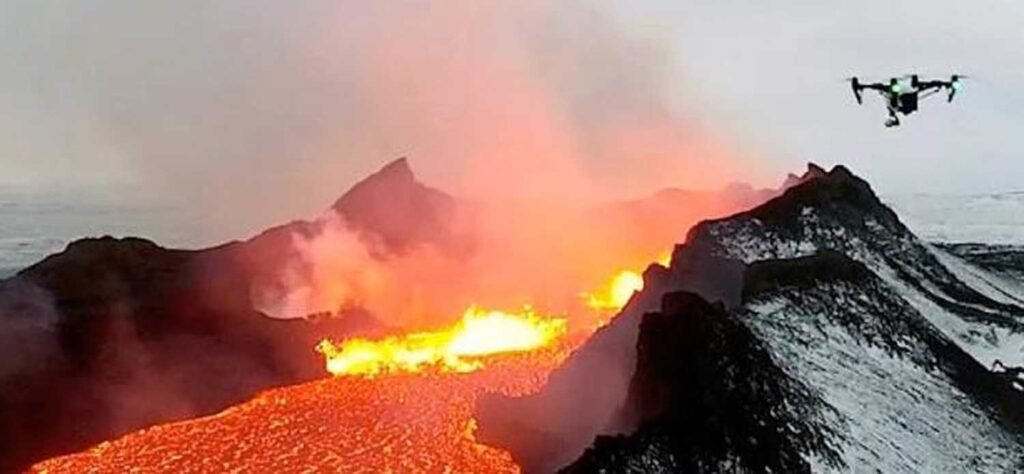
MONITORING NATURAL DISASTERS
Forest Monitoring & Reforestation Tracks deforestation, illegal logging, and forest health. Supports rapid reforestation with seed-dropping drones. Monitors biodiversity and wildlife habitats
Environmental Sustainability important role plays Precision Agriculture which Optimizes water, fertilizers, and pesticides. Increases crop yield and resource efficiency and Reduces environmental runoff

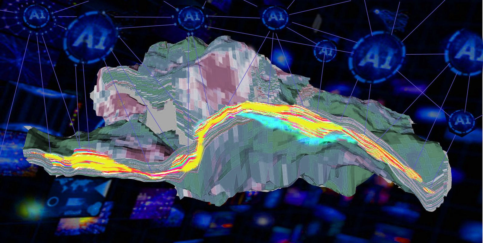
Technologies AI & Drones for
Solar Smart Cities Generation 5+ and Geological Explorations
Drones and AI: The Future of Autonomous Aerial Technology
The combination of drones and artificial intelligence is reshaping industries by enabling smarter, safer, and more efficient aerial operations. AI transforms drones from remote-controlled devices into autonomous systems capable of understanding, analyzing, and responding to their environment in real time.
Autonomous Flight & Navigation
Obstacle Avoidance
AI-powered sensors and computer vision help drones detect obstacles—trees, buildings, power lines—and adjust flight paths instantly.
GPS-Free Navigation
AI enables drones to navigate indoors or in GPS-denied environments using visual SLAM (Simultaneous Localization and Mapping).
Swarm Intelligence
Multiple drones can coordinate like a flock, sharing data and dividing tasks for:
search-and-rescue
military reconnaissance
agricultural surveying
Computer Vision & Real-Time Analytics
Object Detection
AI helps drones identify vehicles, people, wildlife, crops, or structural defects through onboard cameras.